The UK and its Waters
When you looked at the map of the UK last week you found out about the four seas surrounding Great Britain. Can you remember them?
Here are some pictures of things happening in the waters around the UK. I would like you to draw a poster showing something for each sea. You can find your own pictures to inspire you too. See my poster, at the bottom of this post, to give you an idea of how to draw it.
The North Sea


Deep in the North Sea they drill for oil, it is used for fuel and burned to produce electricity.
A fishing boat: cod is the most popular fish and we eat it as part of fish and chips.
The Channel


You can cross the channel on a ferry or you can go in the Channel Tunnel. The white cliffs of Dover are famous.
The Atlantic Ocean


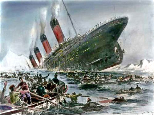
The world’s second largest ocean is very deep. Before aeroplanes you had to travel by ship to cross the Atlantic Ocean. A famous ship called The Titanic hit an iceberg and sank in 1912.
The Irish Sea


The Irish Sea is between Ireland and England. An artist called Antony Gormley has placed statues of people gazing out to sea.

In Blackpool there is a long pier.
Split your poster into 4 boxes by drawing lines across the middle. Choose something to draw in each box and then label which water you have drawn.


